
![]()
Satellite Views
Click any picture for the full-size image.

Shown above is a satellite view from around 2009. The lifts are long gone, but the lodge remains. For what ever reason, all the slopes are still mowed and the trails appear to be kept reasonably clear of trees and brush.

Here's another view from around 1999. This image more clearly shows the "S" curves of the Proposed trail snaking around the back of the Rim Trail.
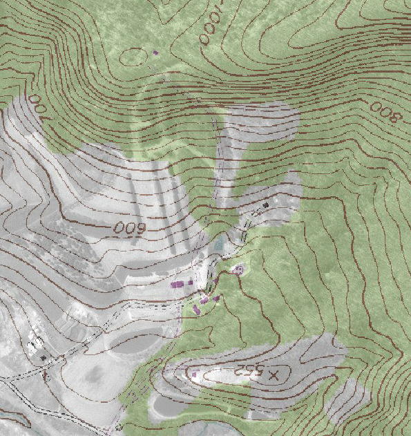
Same image as above, but with a topographical overlay.

Here's a trail map to compare with the images above. Image courtesy of Linda Peters.

Aerial photo of Big Valley from 1971. Note the greater number of upper trails and the lack of pine trees along the lower slopes. I had assumed that the Proposed trail was some sort of preexisting access road, but there's no sign of it in this photo. Image courtesy of Glenn Stet.

Aerial photo from 1958 before anyone had any ideas about building a ski area. Image courtesy of Glenn Stet.